Back

Multi-tech
Emerging Technologies (Monitoring, Detection, Minimization, Mitigation, Avoidance)
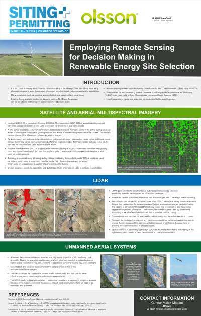
Employing Remote Sensing for Decision-Making in Renewable Energy Site Selection
Tuesday, March 12, 2024
5:00 PM – 6:00 PM MT


Gunnar Malek-Madani, MA
Project Scientist
Olsson
Lincoln, Nebraska
Presenter(s)
Presentation Description: In an attempt to avoid impacting species of concern, it is important to identify critical habitat for these species early in the siting process for wind and solar renewable energy projects. This presentation will highlight how Olsson scientists utilize freely available satellite and aerial imagery in the early detection and identification of these habitat constraints for wind and solar projects in the United States. Olsson analyzes USGS 3DEP LiDAR point cloud data as well as Sentinel 2, Landsat, National Agriculture Imagery Program (NAIP), and unmanned aerial system (UAS) multispectral data in the classification of these areas. The classifications are conducted using machine learning algorithms such as random forest models and support vector machines in R and ArcGIS Pro. Olsson's poster will highlight the benefits of conducting project specific land cover classifications in terms of adjustable temporal resolution and increased spatial resolution, accuracy, and precision compared to existing land cover datasets. Examples will be given of analyses in which certain data sets were chosen and project parameters were customized to fit specific locations, conditions, and timeframes.
